
Looking Up Your Burbank Neighbors
A block lookup for Burbank neighbors has three layers. GIS identifies land next to the target parcel. The Assessor adds parcel facts and a public tax-mail clue. Historical and community sources can add listed names or organization contacts. None is a complete neighbor directory. The rows below state what each source can show and what access channel applies.
| Source | What it shows about a block | Access |
|---|---|---|
| Burbank GIS parcel map | Lot geometry, situs, zoning, adjacent parcels | Free map and parcel service |
| LA County Assessor | AIN, legal parcel, assessment and mailing clue | Free address or AIN search |
| Building permits | Work history and named project parties | Portal or Building & Safety counter |
| Voter information | Approved registration data under statutory rules | Self-check or restricted request |
| Reverse directories | Past listed occupants by street and number | LAPL digital or library access |
| Neighborhood organizations | Public contacts, officers, events | Public channel; member rosters private |
An assessed owner is not automatically a neighbor in the lived sense. A mailing address can differ from the parcel. A permit applicant can be an architect or contractor. A reverse directory entry can be a subscriber. Treat ownership, occupancy, and community contact as separate labels.
Map Burbank Neighbors by Parcel
For Burbank neighbors, open the Burbank planning and zoning page, which is the entry point for the interactive citywide mapping tool. Locate the target address, zoom until lot polygons are distinct, click the target parcel, and then click the parcels sharing its side or rear boundaries and the parcels across the street. Record the AIN and situs for each one before moving to the Assessor.
- Search or locate the target address in the city map.
- Pan and zoom until parcel lines and house-number labels can be read.
- Click each adjacent polygon and note AIN, APN, situs, zoning, and mapped context.
- Open each AIN in the LA County Assessor Portal.
- Use permits, historical directories, or the full street workflow only for the question that remains.
The map is a geography tool. It does not promise a buffer search or a current household list. The underlying Burbank parcel layer exposes apn_string, ain, saddress, mailaddr, mailzip, mailzip4, zoningcode, landyr, and geometry. It has a 50,000-record service setting, so do not republish service fields as a people list.
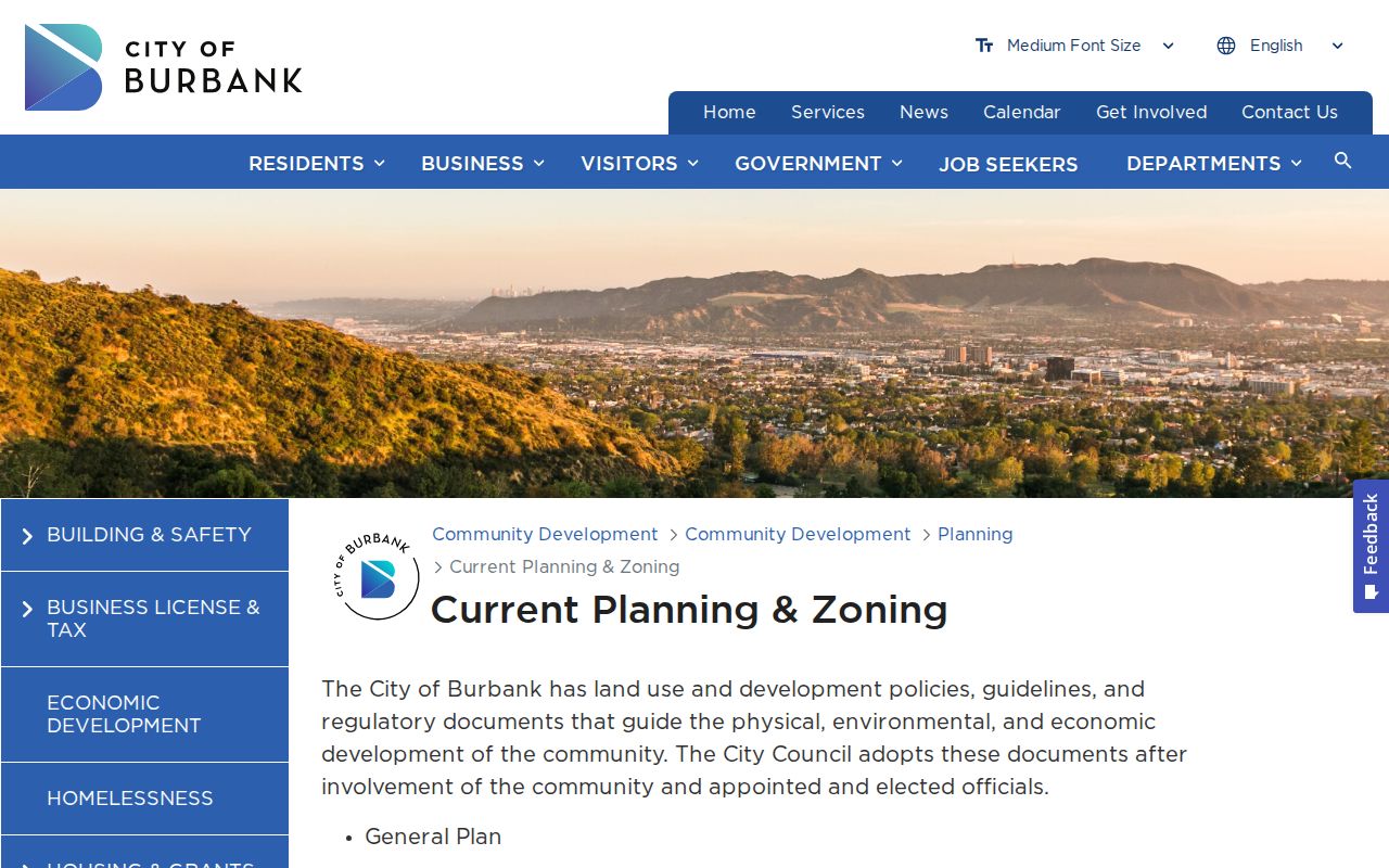
The planning capture shows the correct starting point for adjacent-parcel research. Confirm every parcel in the county record before assigning a name or owner clue.
Confirm Burbank Neighbor Parcels Separately
The Assessor Portal uses Basic Search by address or AIN, Legal Search, and Map Search. A result can include the AIN, situs, legal identifiers, parcel geometry, land year, zoning code, mailing address and ZIP fields, and assessed characteristics or values. A public owner-name field was not observed. That means a block lookup should be parcel first, one result at a time.
Compare situs and mailing fields without treating either as proof of occupancy. A matching tax-mail and physical address is supporting evidence only. Exemptions and protected addresses may be suppressed. If a name matters, convert the parcel clue into the county recorder's grantor-grantee and year search or use a separate directory, court, vital, or business source.
The adjacent-parcel sequence is therefore: address → GIS polygon → AIN → Assessor facts → dated person clue. Each arrow is a new check. If the goal becomes the whole named street, use the Burbank street directory workflow rather than expanding the block map into an unverified list.
Burbank Neighbor Records From Permits
The Burbank Property Information Portal accepts an address, APN, or permit number. Building & Safety at 150 N. Third Street, first floor, provides a counter and phone service at (818) 238-5220. Counter hours are Monday through Thursday 8-3:30 and Friday 8-3, with noon-1 closed for lunch. Permits can show construction, inspections, final milestones, certificates of occupancy, and the people attached to a project.
For Burbank neighbors, a permit party has a role. An applicant, architect, contractor, or owner may appear, but the record does not establish who lived at a parcel. Use a permit to explain a building change or to find a dated record number. Then compare that number with a deed, directory, newspaper, or probate clue if the question concerns a past household. The Burbank Building and Safety page is the source for the capture below.
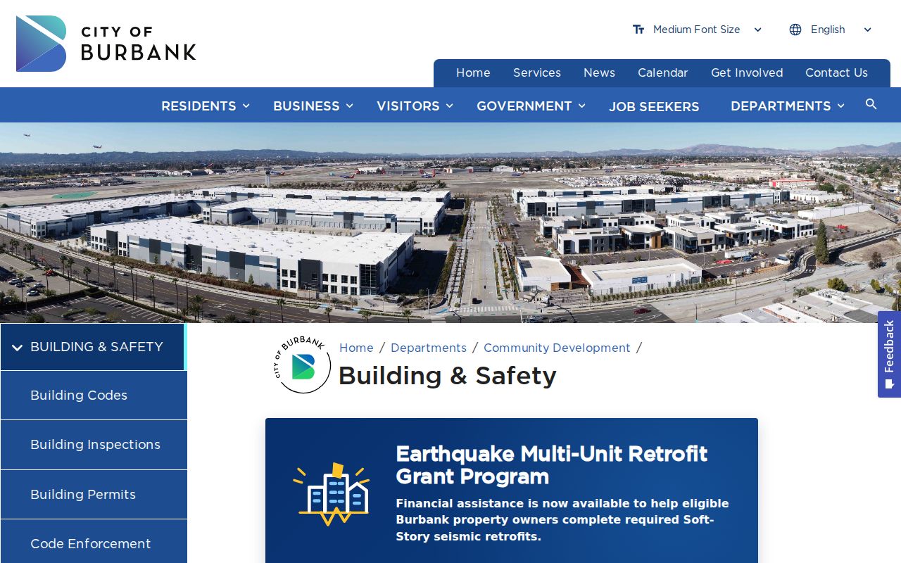
The Building & Safety capture is a project-history source. It can add context to a block without turning construction records into a list of neighbors.
Burbank Neighbors and Community Labels
Magnolia Park, Rancho District, Media District, Downtown and Civic Center, Hillside, Northwest District, and Airport District help orient a search. Planning overlays include Magnolia Park commercial zones, Media District, Rancho Master Plan, Burbank Center, and North San Fernando areas. These labels are useful in city maps, newspapers, and historical directories, but they are not interchangeable with ZIPs, precincts, subdivisions, or legal association boundaries.
No authoritative citywide public directory of private neighborhood association or HOA members was located. Public association sites and city pages can offer officers, events, or a contact route. Corporate names and agents may appear in California SOS bizfile, while governing documents may be recorded. Private member rosters should not be scraped or treated as public household lists.
For community context, contact an organization through its published public channel or ask the Burbank Historical Society about photographs, school, club, and neighborhood material. A public officer or event is an organization clue, not proof that every nearby resident belongs to the group.
Burbank Neighbor Records by Block
The LA County voter status tool requires last name, birthdate, house number, and ZIP Code. It verifies the person's own registration and does not support an arbitrary name, street, or block search. Government Code §7924.000 and Elections Code §2194 keep home addresses, phone, email, identifiers, prior registration information, and signatures confidential except for approved access.
Permitted election, scholarly, journalistic, political, or governmental requests can be ordered by mail or in person through Election Information, second floor Room 2013, 12400 Imperial Highway, Norwalk CA 90650. The request asks for identity, organization, geography or file, purpose certification, signature, and payment. Published prices are $54 for a city, precinct, district, or similar file and $146 countywide, subject to the current order form. Contact voterinfo@rrcc.lacounty.gov. The governing confidentiality rule is published by the California Legislature.
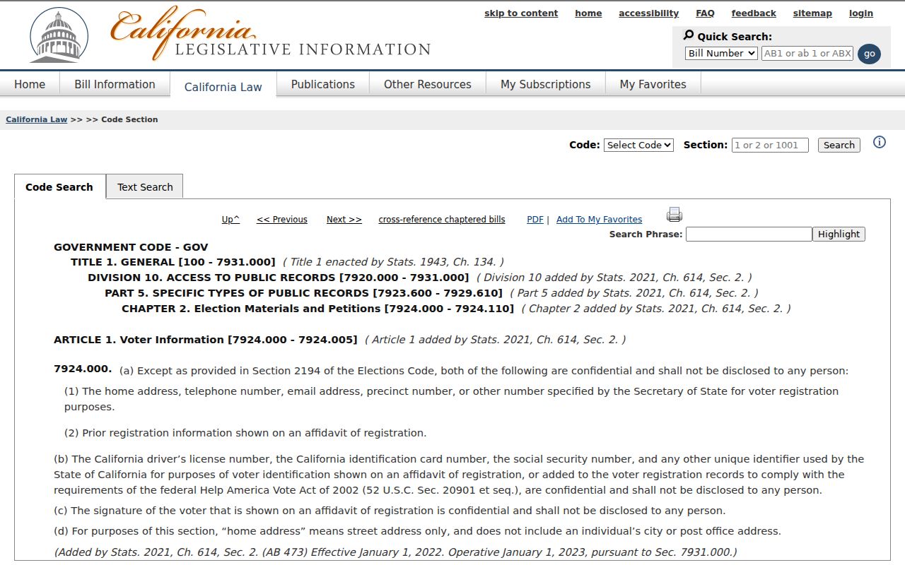
The voter-information capture is a reminder that a block map and a voter file have different legal purposes. Ordinary users should rely on self-verification, aggregate reports, or another lawful source.
Burbank Neighbor Safety Records With Care
California's Megan's Law website offers name, address, city, ZIP, and map modes for the public information category the law allows. Its warnings prohibit harassment and misuse. A registry entry is not a complete criminal history, and the site excludes some people by law. Court disposition, not a roster entry, resolves what happened in a case.
For county custody, the Los Angeles County Sheriff's Inmate Information Center is separate from the state CDCR CIRIS incarcerated-records search. Burbank Police records requests follow city and police channels, with investigative, victim, juvenile, medical, and other protected material subject to withholding or redaction. Use a safety source for safety awareness, not as a way to label a neighbor.
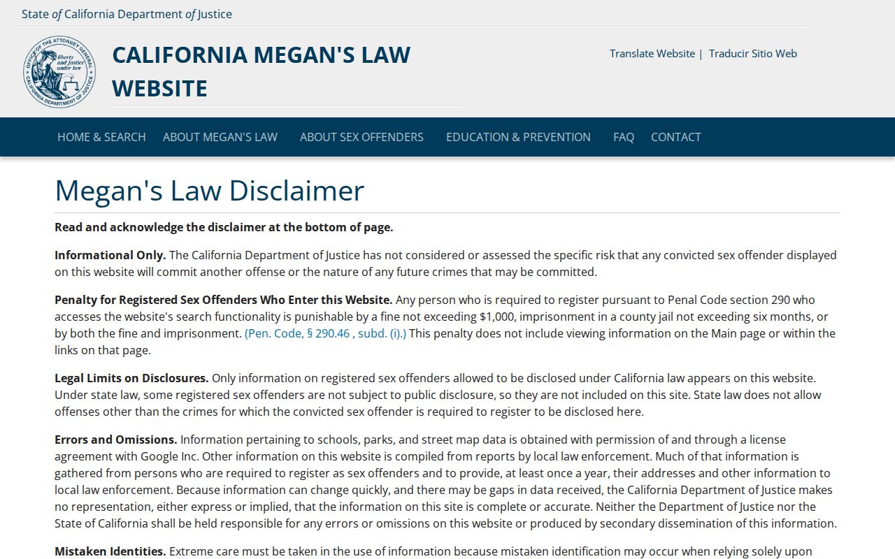
The public registry capture includes its own use warning. A nearby map marker does not establish identity, current conduct, or a relationship to a parcel.
Protected Burbank Residents May Be Missing
Safe at Home, under Government Code §§6205-6216, provides a substitute mailing address for qualifying survivors and specified participants. Voter files, court documents, adoption files, DMV information, and other records can have separate protections. A missing name or address is not evidence that a person is absent from the block.
California's public-record request law can help with an identifiable city map, permit, resolution, or other municipal record, but a request does not require staff to create a household analysis. Ask the City Clerk or the custodian for the record number, date range, and access rule. Keep sensitive details out of a public request unless the custodian needs them. The Safe at Home governing-law page is the source for the confidentiality capture below.
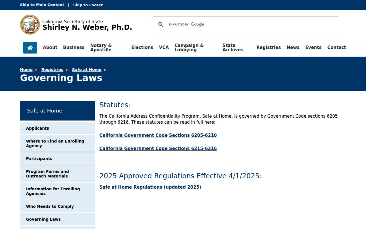
The Safe at Home capture explains why some official records use a substitute address or do not show a location. Respect the missing-data signal.
Read Burbank Neighbor History by Block
When the question concerns who lived near an address decades ago, use reverse directories and city directories rather than current neighbor tools. LAPL's regional runs include reverse volumes for 1906, 1927, and 1956-1987, while the digitized city and street-address collection spans 1875-1987. Search conventions can require a literal h prefix before a house number, and numbered streets can appear in more than one written form.
Pair the listed address with census years, deeds, permits, newspapers, and Sanborn map context. A directory shows a surveyed subscriber or householder. A census shows an enumerated household. A deed shows a recorded land transfer. Those are different neighbor clues. The Burbank city directory page explains the collection and entry-reading work in more depth.
Privacy Limits on a Burbank Neighbor Lookup
Public parcel data does not disclose every person who lives at a site. Non-owner occupants, children, guests, protected participants, and people omitted from a directory may not appear. Utility, delivery, DMV, and private association data remain outside a public block search. Commercial neighbor tools are compiled from mixed sources and can carry stale or wrong links; they are not official custodians.
Use the GIS and Assessor for adjacent land, permits for project history, public community channels for organization contact, and a historical directory for past listed households. If the goal is a full named-street chain, use the Burbank street directory. If the goal is one person, use the resident lookup path and verify with the relevant custodian.
Lawful use. Neighbor research is for getting to know a block, family history, reconnection, civic understanding, and personal safety awareness. Do not use it to watch, stalk, harass, threaten, or intimidate anyone.
A good result may be a parcel map, a public organization contact, or a dated historical entry rather than a person's current name. That boundary protects accuracy and the people who live around the address.